NO NAMED GPX
Profile
No data elevation
Name:
No data
Distance:
No data
Minimum elevation:
No data
Maximum elevation:
No data
Elevation gain:
No data
Elevation loss:
No data
Duration:
No dataDescription
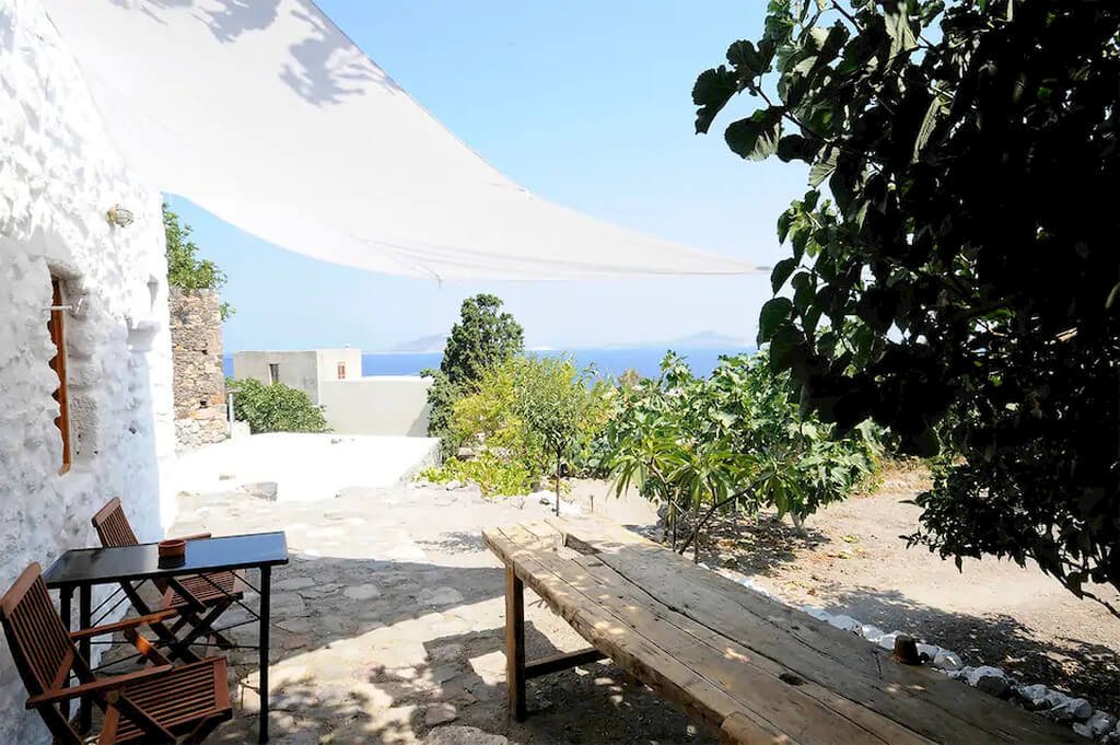
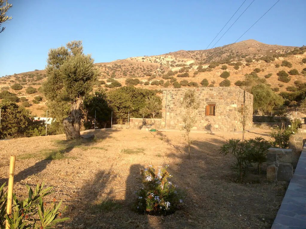
Lagkadi-Goat-Farms-Kateros
Route: Kateros – Trithalamo
Time: 5 hours
Distance: About 7 km
Height: 50-120 m
Level of Hiking: Very hard
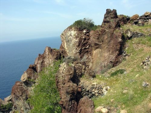
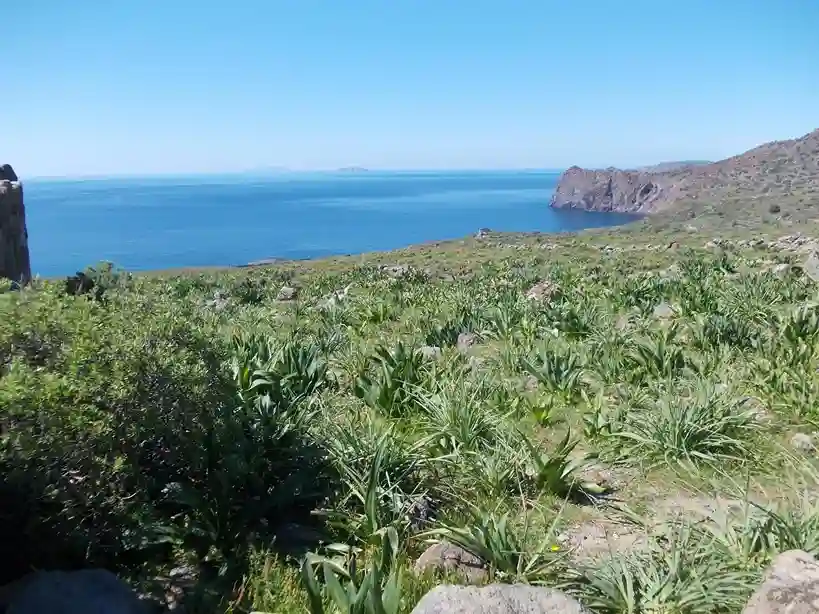
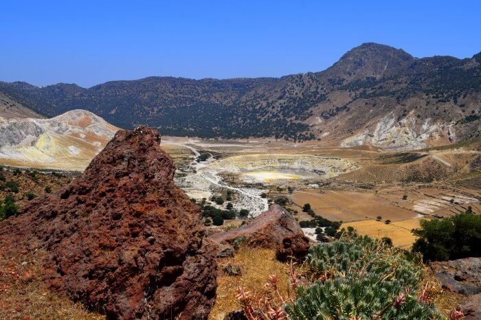
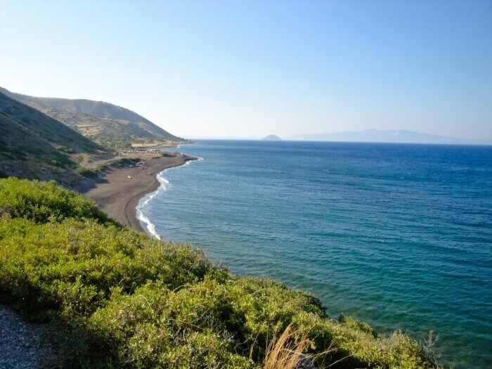
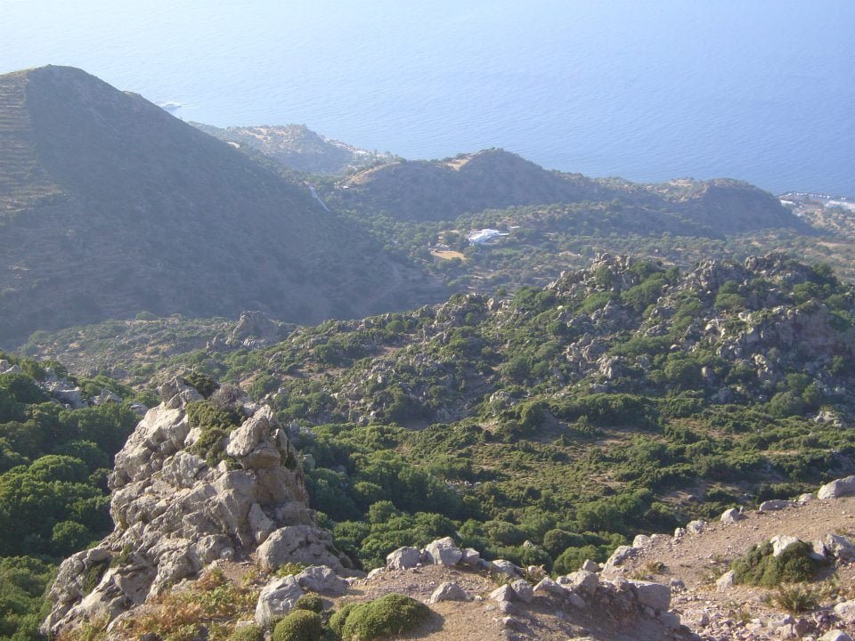
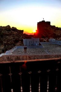
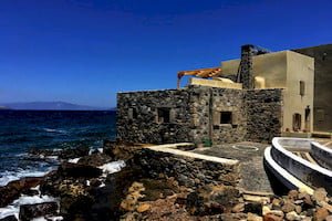
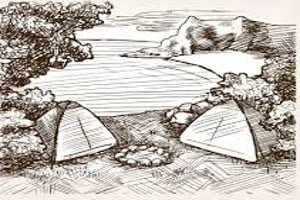
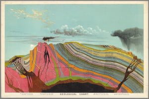
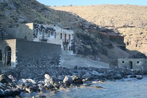
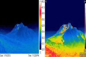
Τhe second catastrophic eruption of the volcano of Nisyros took place 20.000 years ago. The magma continues to rise stability for many hundreds of years after the mayor eruption, creating the post-caldera domes: the hills of Boriatiko, Nifios, Profitis Ilias and Trapezina. The volcanic action caused huge energy and as a result, magma managed to overcome the boundary of the caldera, forming the hill of Karaviotis, the only post- caldera dome which developed outside of the caldera. Thereafter, the erosion of the air and the sea on the lava of Karaviotis took up the role of the “creator” and carved steep coasts and unique geological formations. The natural sculpture of the bay of Kateros has been completed.
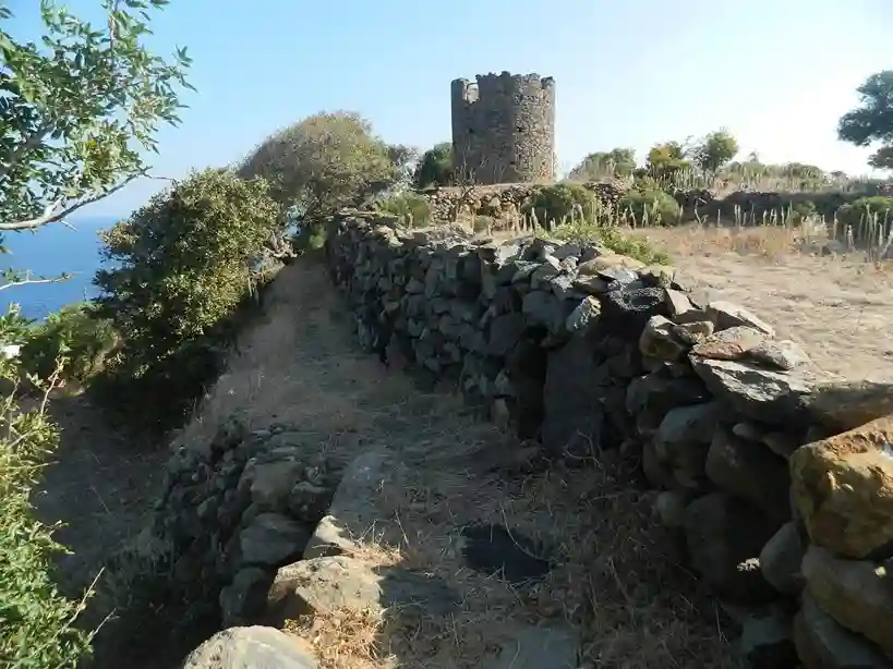
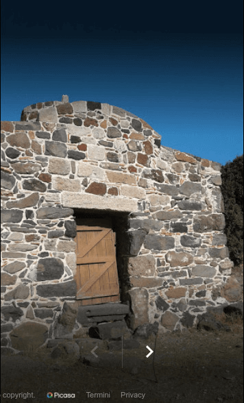
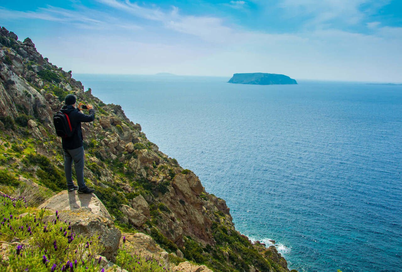
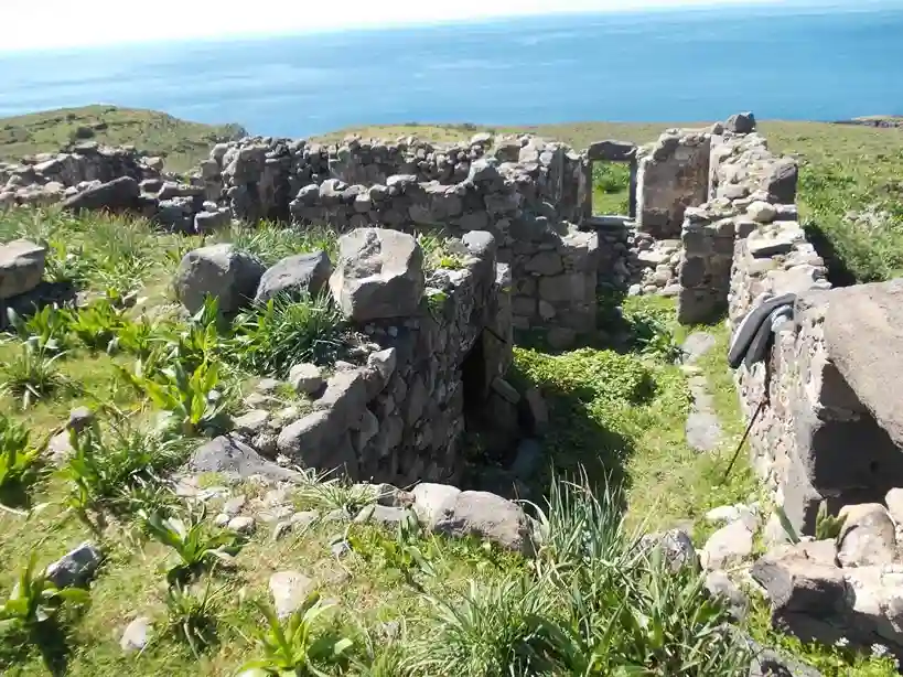
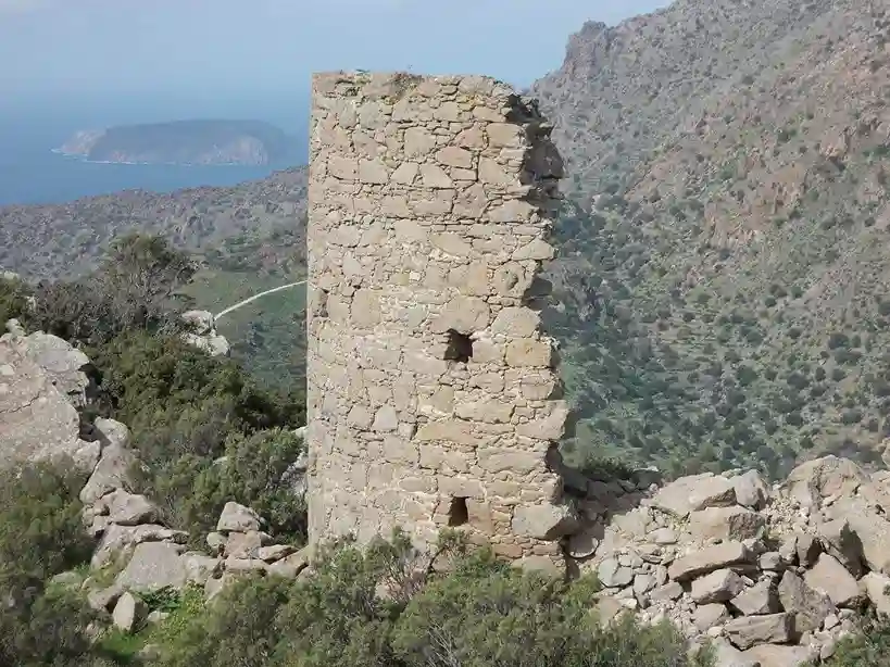
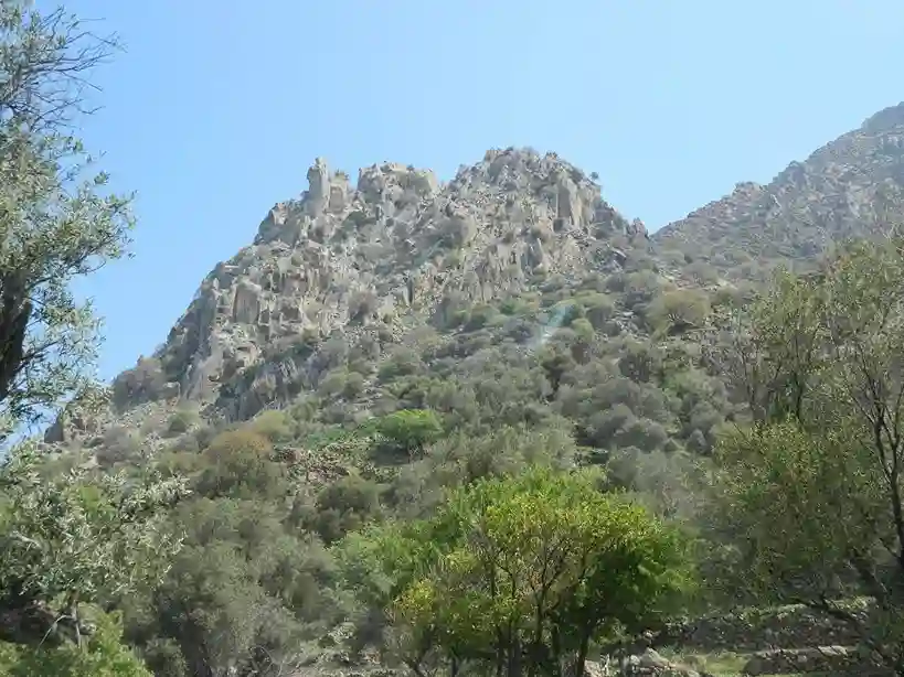
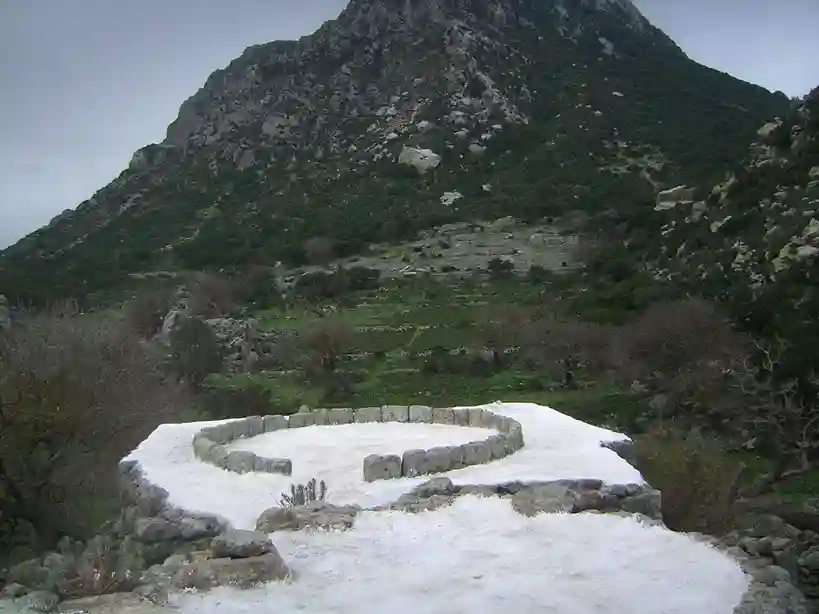
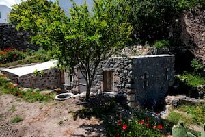
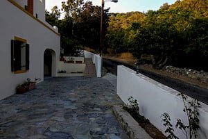
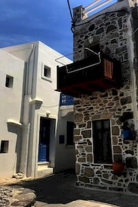
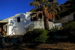
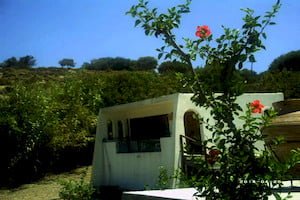
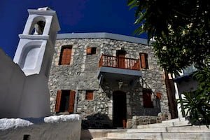
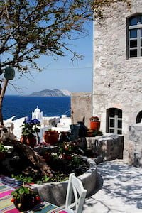
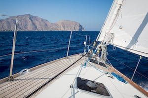
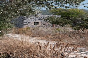
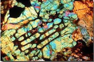
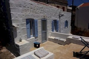
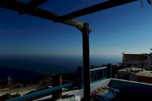
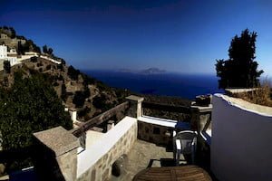
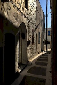
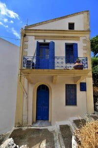
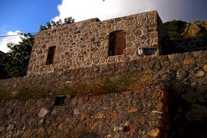
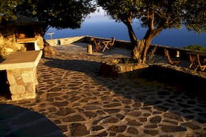
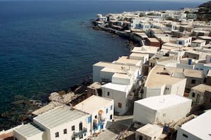
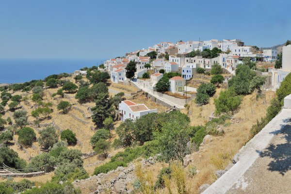
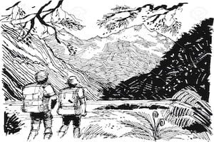
This path lines the western slopes of the volcano and leads to the bay of Kateros after 2 hours hike. The route is surrounded by Spiladia (farmhouses), vastadia (dry stonewalls), unique geological formations, mainly by andesitic lava flows, and provides amazing view (Kanoni, Xera, Kokkina, Fokiokremara). The trail is very interesting as at the beginning comes across the chapel of Saint Nikolaos which is a little rock-cut church and a type of ancient fortress. Before getting the bay of Kateros, it is worth to pay a visit to the Trithalamo, a natural cave separated into three different spaces. At Kateros there are farmhouses and churches. The traces of ancient settlements are also visible.