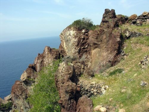
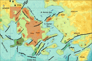
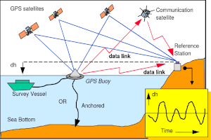
| To allow comprehensive monitoring of possible deformation of the Nisyros terrain, a deformation monitoring network has been installed, employing high-precision satellite measurements (DGPS) of longitude and latitude, as well as of the altitude of 21 fixed points in Nisyros and Yali. A special stud has been installed at appropriately selected fixed points. This constitutes the fixed point for placement of the measurement instrument; when the latter receives a signal from passing satellites, it can detect shifts in the order of few millimeters. |