NO NAMED GPX
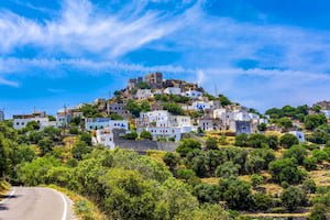
Profile
Description
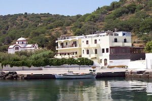
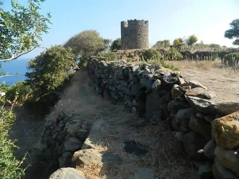
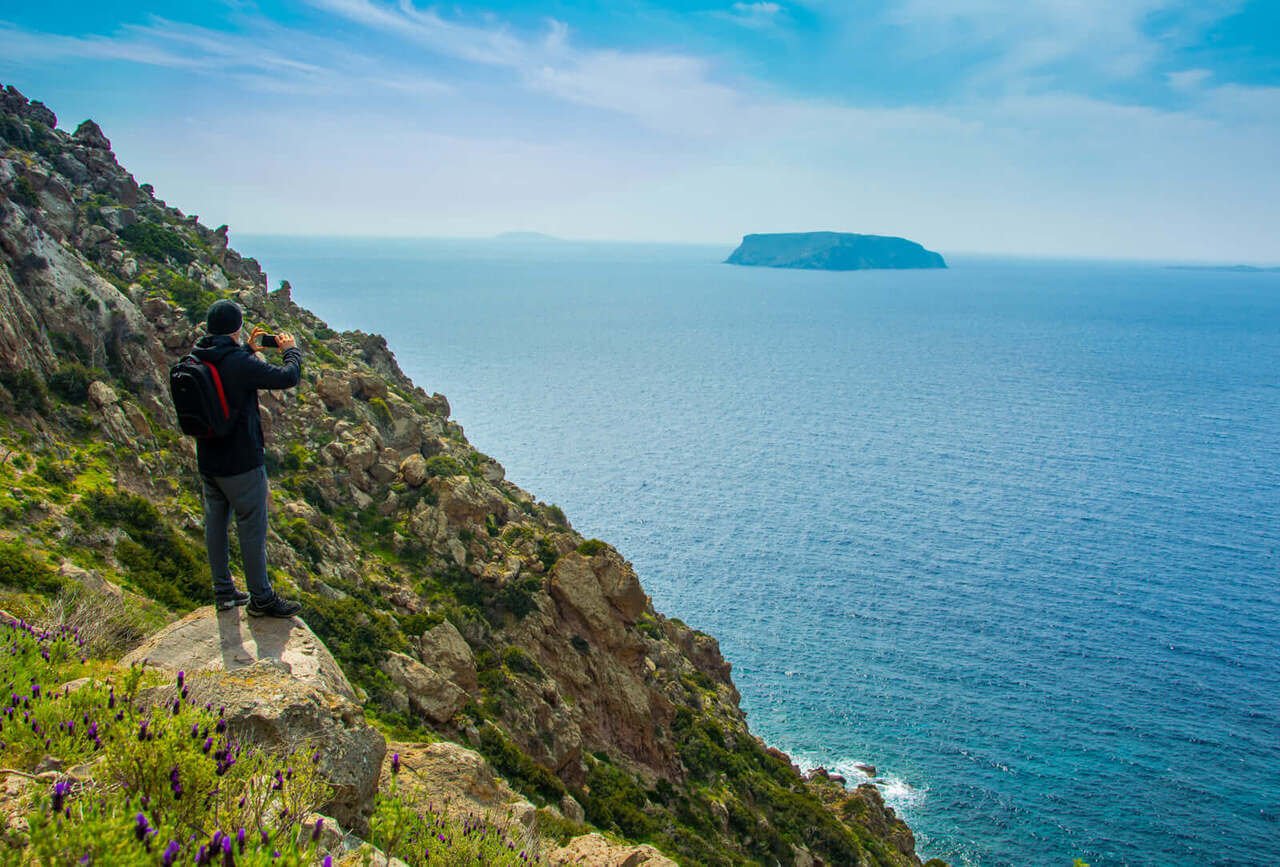
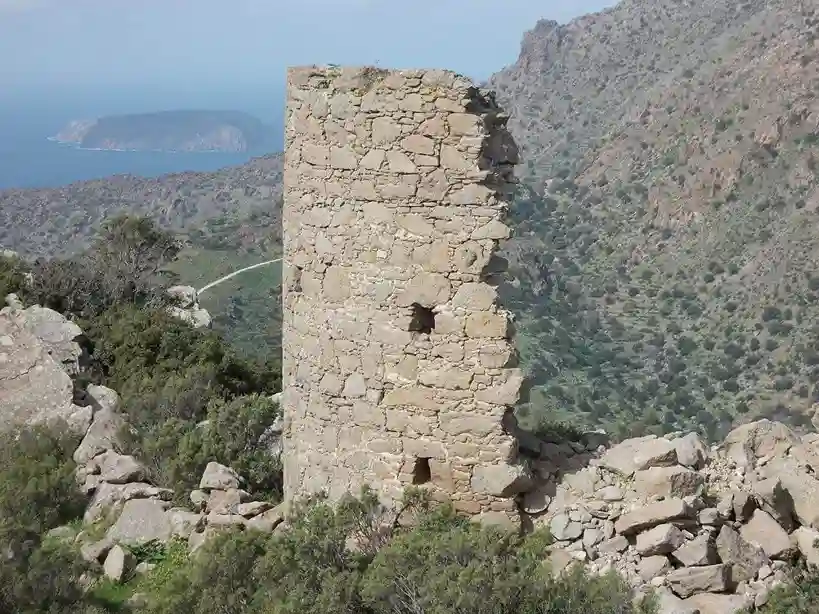
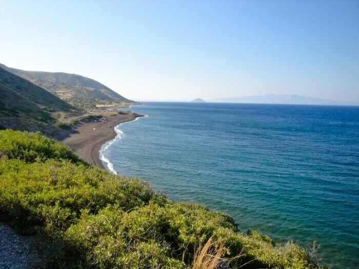
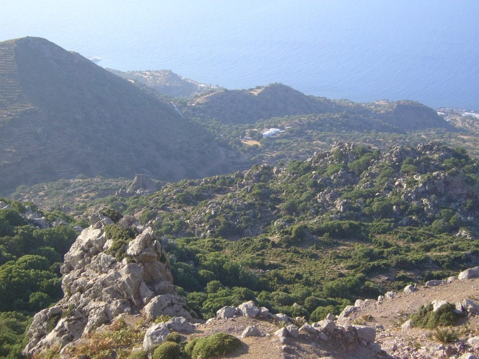
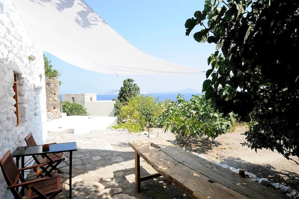
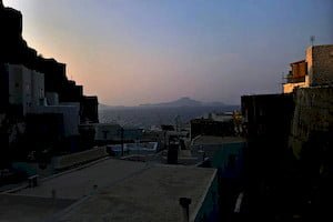
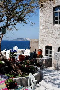
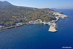
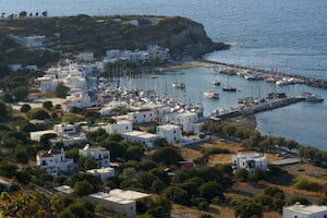
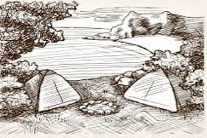
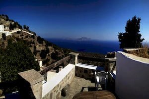
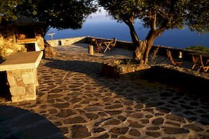
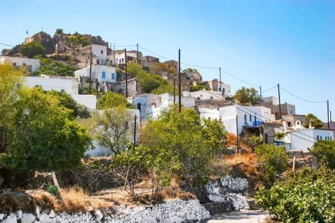
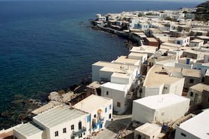
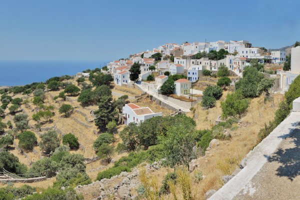
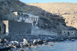
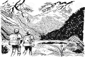
This path traverses the western slopes of the volcano, leading to the Kateros cove, a unique site isolated from all recent human activities; it had been cultivated by Mandraki residents until the middle of the 20th century.
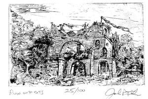
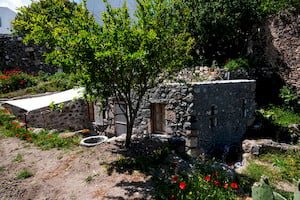
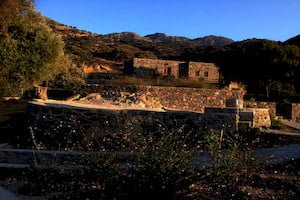
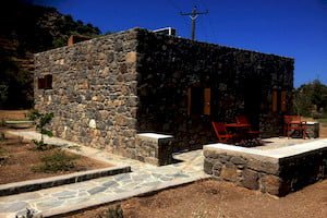
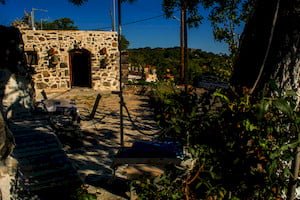
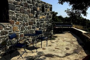
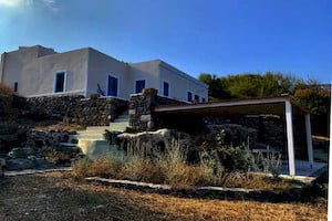
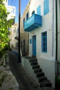
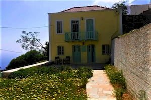
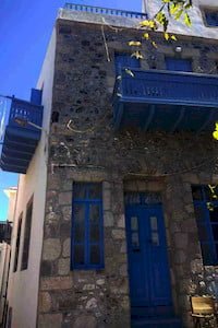
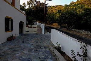
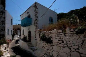
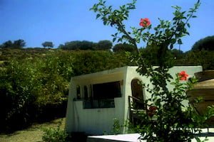
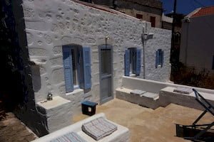
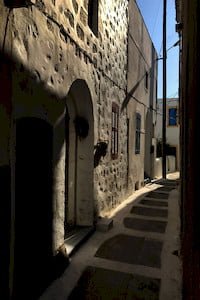
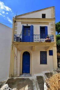
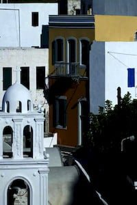
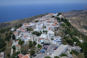
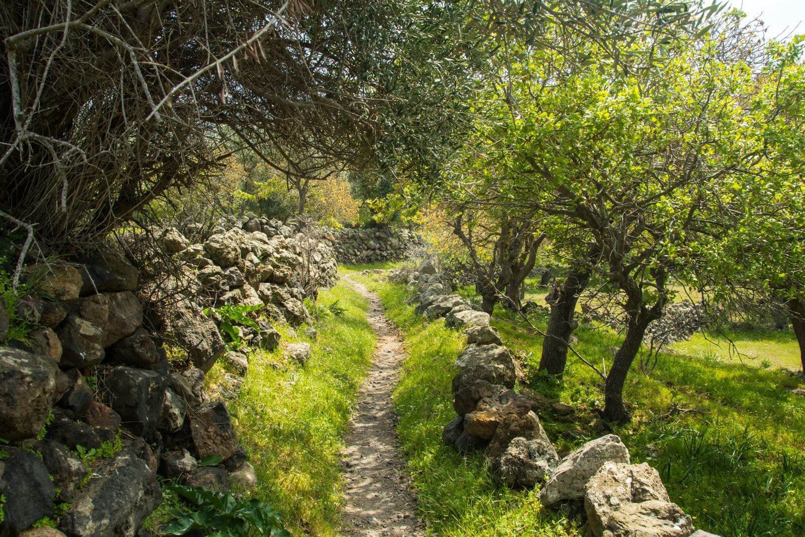
The first part of the path was recently completely restored after some people bought and restored them holiday houses on the way. At the begin is possible to observe the wonderful and well preserved old roman road to Stavros, and many church ruins.
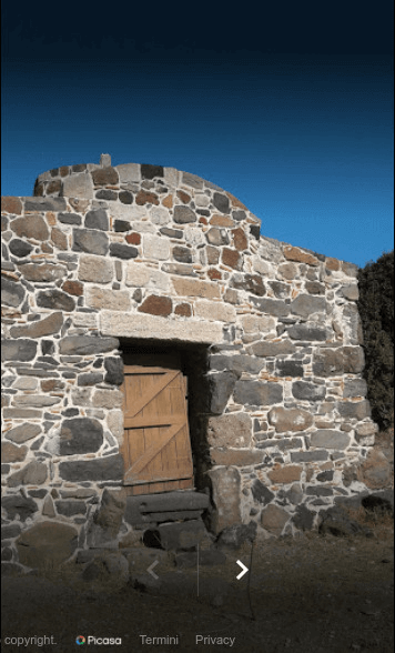
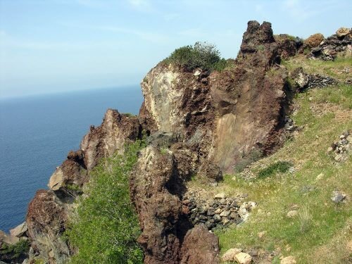
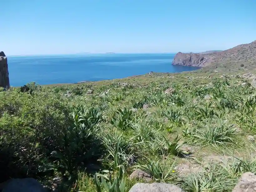
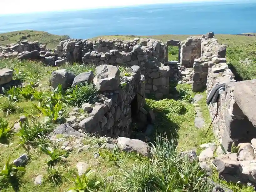
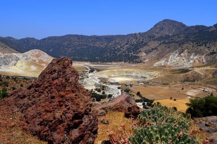
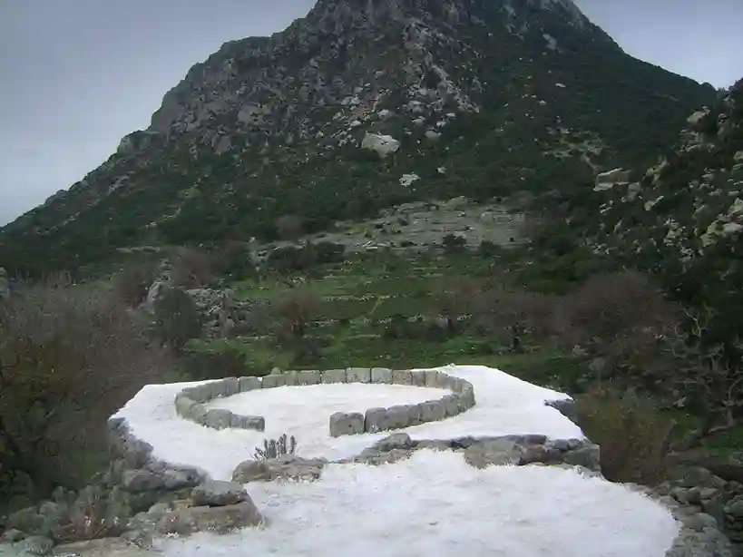
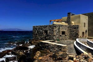
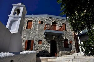
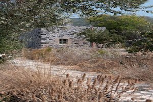
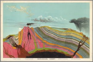
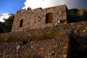
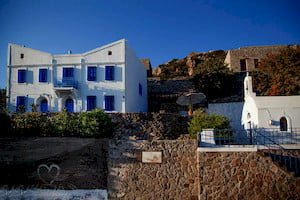
The route is particularly interesting, as it crosses andesitic lava flows and ash layers in the beginning; then it passes above the newer lavas of the volcano. Caves and churches can be found intact in Kateros; traces of ancient dwellings are apparent there.


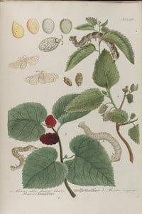
Several vasel fragments from ancient wine amphorae are a testament to the intensive vine cultivation and significant wine production in the classic and the Hellenistic periods.
This path is scarcely marked and its middle part is barely discernible. Users not equipped with GPS and the corresponding file, which is available for download from the download link below the map, should be particularly cautious.